LiDAR Data Processing: Precision & Efficiency in Geospatial Analysis

In today’s fast-paced world of geospatial analysis, Light Detection and Ranging (LiDAR) technology has become an indispensable tool for capturing high-resolution, three-dimensional data. From topographic mapping to infrastructure planning, LiDAR data processing plays a crucial role in ensuring accuracy and efficiency in a wide range of applications. Let’s explore how LiDAR data processing is revolutionizing […]

Read more

Exploring 3D Primitive Modeling & Intelligent Modeling: The Future of Digital Design

In the rapidly evolving world of digital design and engineering, 3D modeling plays a pivotal role in creating accurate, efficient, and intelligent representations of real-world structures. Two key approaches in this domain are 3D Primitive Modeling and Intelligent Modeling. While primitive modeling forms the foundation of many digital assets, intelligent modeling leverages automation, AI, and […]

Read more

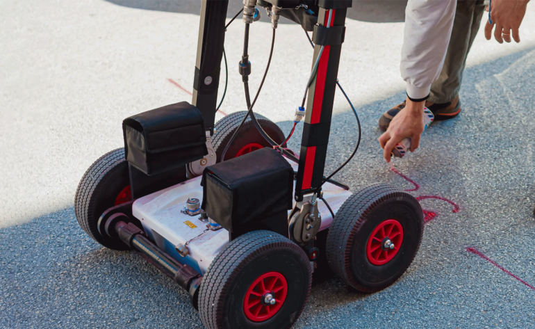
Unlocking the Hidden World Beneath: The Power of Ground Penetrating Radar (GPR) Services

When it comes to understanding what lies beneath the surface, Ground Penetrating Radar (GPR) is an invaluable tool. This advanced technology allows professionals to detect, map, and analyze underground features without the need for invasive digging. Whether for construction, utility mapping, archaeology, or environmental assessments, GPR services offer unparalleled accuracy and efficiency. What is Ground […]

Read more