GIS (Geographic Information System) & Navigational Route Mapping
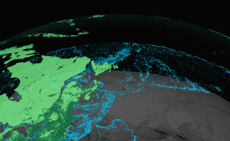
A Geographic Information System (GIS) is an advanced computer-based tool designed to capture, store, analyze, and visualize spatial data related to positions on Earth’s surface. By integrating various types of geospatial data—such as streets, buildings, and natural features—GIS enables users to identify patterns, analyze relationships, and make data-driven decisions.
Applications of GIS
- Mapping & Visualization – Provides detailed, multi-layered maps for better spatial analysis.
- Navigational Route Mapping – Optimizes travel routes for logistics, urban planning, and disaster management.
- Satellite Image Processing & Registration – Enhances precision in land surveys, environmental monitoring, and remote sensing.
- Development Planning – Aids in infrastructure development, zoning, and smart city planning.
- Database Creation & Integration – Combines geospatial and non-spatial data for efficient decision-making.
At Vasista Engineering Solutions, we leverage cutting-edge GIS technologies to provide accurate, efficient, and data-driven geospatial solutions, empowering businesses and government agencies in urban planning, infrastructure development, and resource management.
For more information… Contact us…. Vasista Engineering… We bring ideas into reality.
